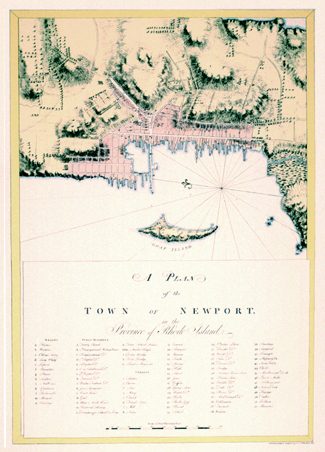
Newport, Rhode Island 1776 – Collectors Series
$40.00
This delicately colored plan of Rhode Island’s most important colonial port is from the rare Atlantic Neptune, compiled by J.F.W. des Barres for use by the English navy during the Revolutionary War. This is a splendid example of his cartographic skill, which combined beauty, accuracy, and clarity with a distinctive style of engraving. A detailed legend gives the location of all places and buildings of importance.
Size: 21 1/4 x 15 1/4 inches. Color, Cover-stock Paper
SKU: NEWP776
Category: United States
Tags: Atlantic Neptune, English Navy, engraving, J. F. W. des Barres, plan, port, Revolutionary War
You may also like…
-
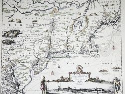
New York and New England 1685 – Souvenir Series
$20.00 Add to cart -
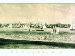
Newport, Rhode Island 1860
$45.00 Add to cart -
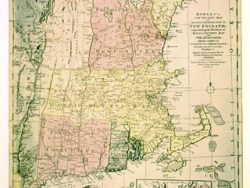
New England 1780 – Souvenir Series
$20.00 Add to cart -
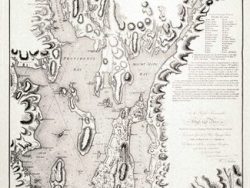
Narragansett Bay 1777 – Collectors Series
$42.50 Add to cart -
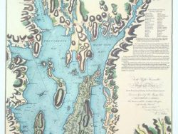
Narragansett Bay 1777 – Souvenir Series
$20.00 Add to cart -
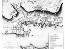
Newport, Rhode Island 1777
$37.50 Add to cart -
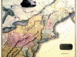
Northern United States 1817 – Souvenir Series
$20.00 Add to cart -
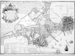
Boston 1769 – Collectors Series
$40.00 Add to cart -
Boston 1775 – Souvenir Series
$20.00 Add to cart


