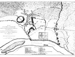
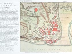
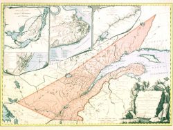
Quebec 1776

$35.00
American forces under Colonel Benedict Arnold laid siege to Quebec for several months in 1775 and 1776. William Faden’s map from his “North American Atlas” shows the topography of the city and the surrounding area in great detail and identifies the location of Arnold’s forces.
Size: 17 1/2 x 24 1/2 inches – Black & White, Cover-stock paper
You may also like…
-
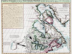
Canada 1719 – Souvenir Series
$16.00 Add to cart -
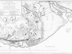
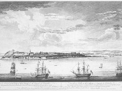
Quebec 1759
$32.50 Add to cart -
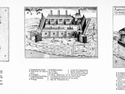
Quebec 1758
$35.00 Add to cart -
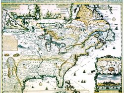
New France 1719 – Souvenir Series
$16.00 Add to cart -
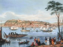
Quebec 1768
$32.50 Add to cart -
Ste. Croix, Quebec, and Port Royal, Canada 1613
$35.00 Add to cart -
Quebec Province 1763 – Souvenir Series
$16.00 Add to cart -
Quebec 1844 – Museum Series
$35.00 Add to cart