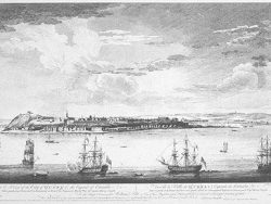
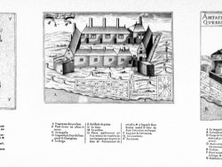
Quebec 1758

$35.00
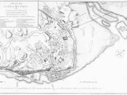
This beautifully colored plan of Quebec by Edward Oakley was first published in London by John Rocque in January, 1759, showing the city as it existed the previous year. In October the plate was revised to include an additional inset map of the St. Lawrence River. It is this second state that we have reproduced in full color.
Oakley’s plan depicts the fortifications of Quebec, with an account of a naval battle in the inset. The text provides a brief history of Quebec, dating back to Samuel de Champlain, with an account of the British Sieges of Quebec in 1690, 1711, and 1746. The legend on the left identifies the city’s principal buildings.
Size: 13 1/4 x 19 1/4 inches – Color, Cover-stock paper
You may also like…
-
Quebec 1768
$32.50 Add to cart -
Quebec 1759
$32.50 Add to cart -
Quebec Province 1763 – Souvenir Series
$16.00 Add to cart -
New France 1719 – Souvenir Series
$16.00 Add to cart -
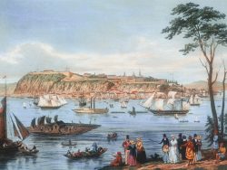
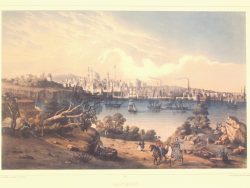
Quebec 1844 – Museum Series
$35.00 Add to cart -
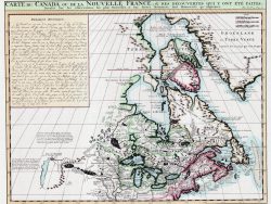
Canada 1719 – Souvenir Series
$16.00 Add to cart -

Quebec 1776
$35.00 Add to cart -
Ste. Croix, Quebec, and Port Royal, Canada 1613
$35.00 Add to cart