Pennsylvania 1687 – Souvenir Series
$20.00
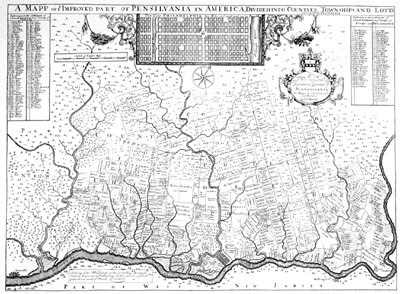
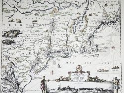
Thomas Holme drew this detailed map of the settled portion of Pennsylvania for William Penn to show the boundaries and identify the owners of estates in the vicinity of Philadelphia. Our facsimile is from a reduced version published in London about 1700.
Size: 14 1/2 x 19 1/2 inches – Black & White, Text-Wight paper
You may also like…
-
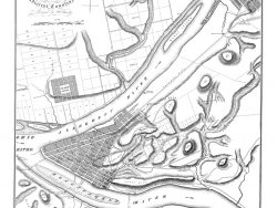
Pittsburgh 1815
$40.00 Add to cart -
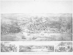
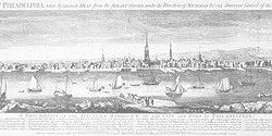
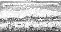
Philadelphia 1702
$42.50 Add to cart -
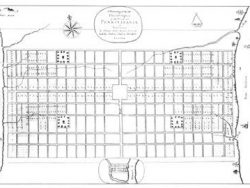
Philadelphia 1683 – Souvenir Series
$20.00 Add to cart -
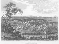
Bethlehem, Pennsylvania 1798
$37.50 Add to cart -
New York and New England 1685 – Souvenir Series
$20.00 Add to cart -
Philadelphia 1754
$45.00 Add to cart -
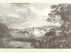
Bethlehem, Pennsylvania 1768
$37.50 Add to cart -
Philadelphia 1754-1761
$40.00 Add to cart -
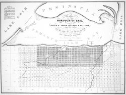
Erie, Pennsylvania 1836
$45.00 Add to cart