Pacific Ocean 1589 – Souvenir Series

$16.00
Abraham Ortelius was the first to produce a printed map devoted entirely to the Pacific Ocean, and it was the earliest to name both North and South America. “Maris Pacifici” appeared in Ortelius’s Theatrum Orbis Terrarum, the first modern atlas. The beauty of this map matches its cartographic importance, for it is distinctively colored, features two elaborate cartouches, and includes a handsome vignette of Ferdinand Magellan’s ship sailing westward on the first voyage around the world.
Size: 13 1/4 x 19 inches – Color, Text Weight Paper
You may also like…
-
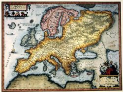
Western Hemisphere 1626 – Souvenir Series
$16.00 Add to cart -
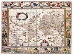
The World 1635 – Souvenir Series
$16.00 Add to cart -
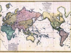
The World 1816
$155.00 Add to cart -
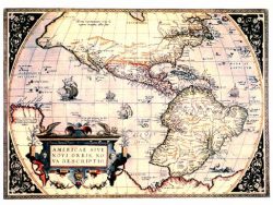
New World 1570 – Souvenir Series
$16.00 Add to cart -
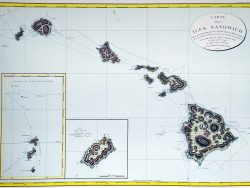
Hawaiian Islands 1794 – Souvenir Series
$16.00 Add to cart -
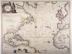
Atlantic Ocean 1650 – Souvenir Series
$16.00 Add to cart