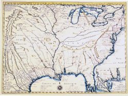
North America 1650 – Souvenir Series

$20.00
This brilliantly colored map by Nicolas Sanson is a fascinating combination of scientific cartography and geographic misinformation. While it was the first printed map to show all five of the Great Lakes, it perpetuated the tradition of depicting California as a huge island. The legendary lands of Cibola and Quivira are vaguely located in the Southwest, and the Rio Grande River is shown with its mouth on the West Coast.
Size: 13 1/4 x 18 3/4 inches. Color, Text-Weight paper
You may also like…
-
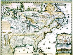
Colonial America 1718 – Souvenir Series
$20.00 Add to cart -
New France 1719 – Souvenir Series
$20.00 Add to cart -
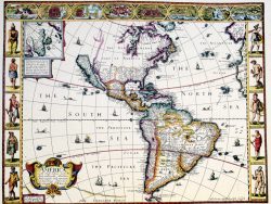
Western Hemisphere 1626 – Souvenir Series
$20.00 Add to cart -
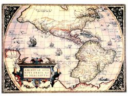
New World 1570 – Souvenir Series
$20.00 Add to cart -
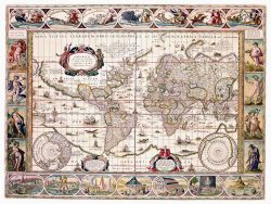
The World 1635 – Souvenir Series
$20.00 Add to cart -
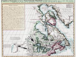
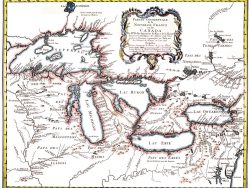
Canada 1719 – Souvenir Series
$20.00 Add to cart