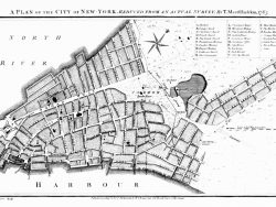
New York 1766-1767

$50.00
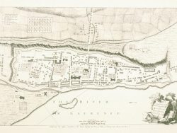
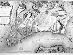
Published in two sheets by Thomas Jeffreys and William Faden in 1776, this extremely rare plan shows the city as surveyed by Bernard Ratzer a decade earlier. Parts of New Jersey and Brooklyn and all of Manhattan north to what is now 59th Street appear. A fine view of New York from Governor’s Island extends along the bottom. A legend identifies important forts, churches, public buildings, markets, and other points of interest.
Size: 40 1/4 x 29 3/4 inches when joined – Set of two sheets – Black & White, Text-Weight Paper
You may also like…
-
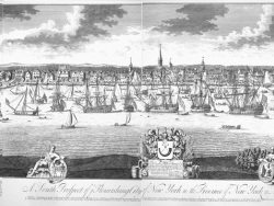
New York 1716-1761
$32.50 Add to cart -
New York 1755
$30.00 Add to cart -
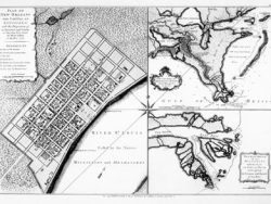
New York 1719
$125.00 Add to cart -
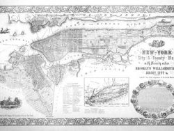
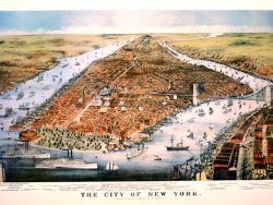
New York 1854
$37.50 Add to cart -
New York 1766 – Museum Series
$45.00 Add to cart -
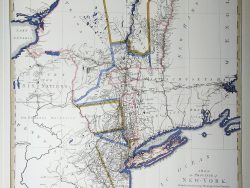
New York and New Jersey 1776
$42.50 Add to cart -
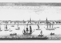
New York 1767
$40.00 Add to cart -
New York 1876 – Museum Series
$40.00 Add to cart -
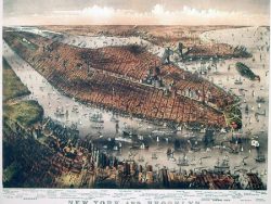
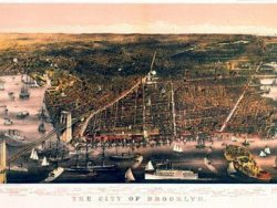
New York and Brooklyn 1875
$40.00 Add to cart