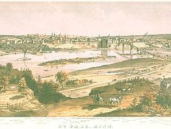
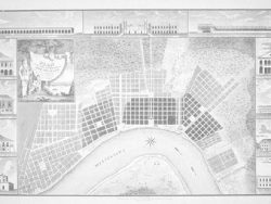
New Orleans 1759 – Museum Series

$35.00
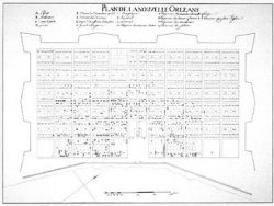
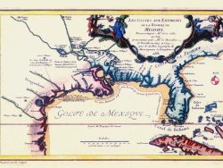
Thomas Jeffreys published this first English plan of Louisiana’s capital city. It included inset maps showing the river approaches to New Orleans and the mouth of the Mississippi.
The museum quality edition of this plan is printed on a heavy paper to highlight its lines and shading. This facsimile is a black and white version of the original color plan.
Size: 13 1/4 x 19 inches. Black & White, Cover-stock Paper
You may also like…
-
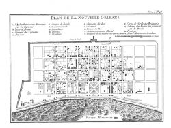
New Orleans 1722
$35.00 Add to cart -
French Louisiana 1705 – Souvenir Series
$16.00 Add to cart -
New Orleans 1764
$32.50 Add to cart -
New Orleans 1851 – Souvenir Series
$16.00 Add to cart -
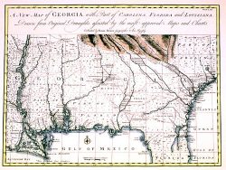
Georgia, Gulf Coast and Lower Mississippi 1748 – Souvenir Series
$16.00 Add to cart -
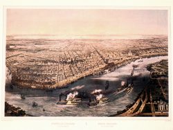
New Orleans 1815 – Museum Series
$37.50 Add to cart