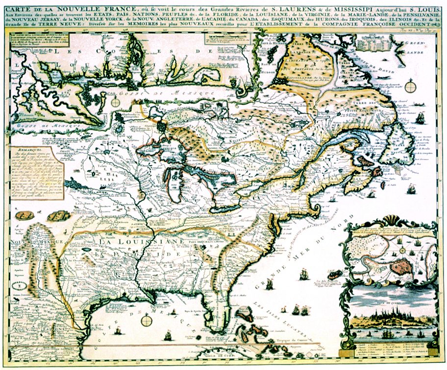
New France 1719 – Souvenir Series
$20.00
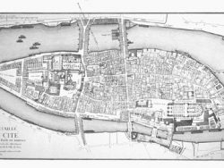
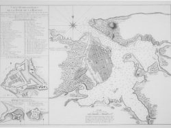
Jean Baptiste Chatelain’s map of the French domain in North America is a single sheet version of the multi-plate engraving by Nicolas de Fer published a year earlier. It includes a fine insert plan and view of Quebec and, at the top, an enlargement of the area from the Mississippi River to Pensacola Bay. Indian villages, animals, ships, and sea monsters add decorative appeal to this splendidly colored and highly detailed map.
Size: 15 1/4 x 18 1/4 inches. Color, Text-Weight Paper
You may also like…
-
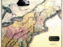
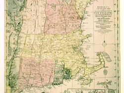
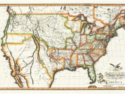
Northern United States 1817 – Souvenir Series
$20.00 Add to cart -
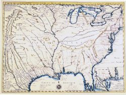
Colonial America 1718 – Souvenir Series
$20.00 Add to cart -
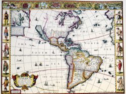
Western Hemisphere 1626 – Souvenir Series
$20.00 Add to cart -
New England 1780 – Souvenir Series
$20.00 Add to cart -
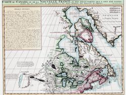
Canada 1719 – Souvenir Series
$20.00 Add to cart -
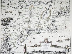
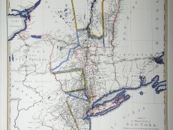
New York and New England 1685 – Souvenir Series
$20.00 Add to cart -
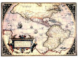
New World 1570 – Souvenir Series
$20.00 Add to cart -
New York and New Jersey 1776
$47.50 Add to cart -
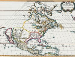
North America 1650 – Souvenir Series
$20.00 Add to cart -
United States 1820 – Souvenir Series
$20.00 Add to cart