Narragansett Bay 1777 – Museum Series

$37.50
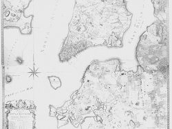
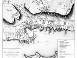
Engraved and published during the American Revolution by William Faden, this large toned chart is a valuable documentation of urban settlement in Rhode Island at the end of the colonial period. Newport at the mouth of the bay and Providence at its head were the largest towns. Many other communities are identified, and the roads, hills, and coast line are depicted in great detail.
The large edition of this plan highlights the quality of its tones and shading.
Size: 21 3/4 x 19 1/2 inches – Toned, Text Weight Paper
You may also like…
-
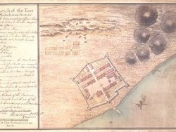
Newport, Rhode Island 1776 – Museum Series
$35.00 Add to cart -
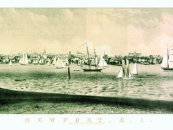
Newport, Rhode Island 1860
$40.00 Add to cart -

Narragansett Bay 1777 – Souvenir Series
$16.00 Add to cart -

New England 1780 – Souvenir Series
$16.00 Add to cart -
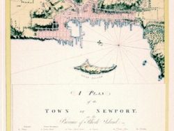
Newport, Rhode Island 1777
$32.50 Add to cart -

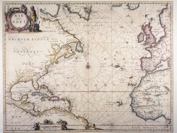
New York and New England 1685 – Souvenir Series
$16.00 Add to cart