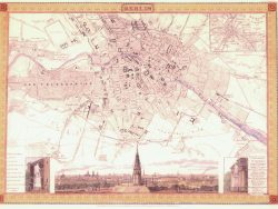
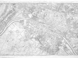
Munich 1844

$37.50
Joseph Meyer’s “Hand-Atlas” included this nineteenth century plan of Munich, which highlighted the city’s numerous gardens and green spaces. Elevations of prominent churches and public buildings line the bottom of the sheet.
Size: 14 x 15 1/2 inches – Color, Text-Weight Paper