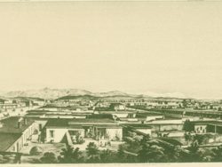
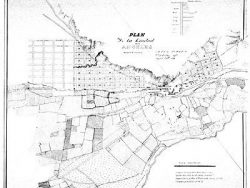
Los Angeles 1849-1857

$35.00
Published about 1875, this map shows the original Spanish town as enlarged by Edward O.C. Ord in 1849, the 35-acre farm tracts surveyed by Henry Hancock in 1853, and the municipal boundary line established in 1857. It is reproduced from a lithograph in the California State Library.
Size: 20 3/4 x 21 inches – Black & White, Cover-stock Paper
You may also like…
-
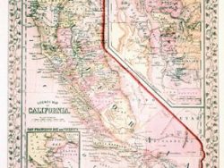
California 1866 – Souvenir Series
$16.00 Add to cart -
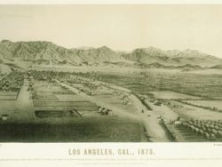
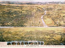
Los Angeles 1873 – Museum Series
$35.00 Add to cart -
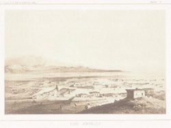
Los Angeles 1853
$35.00 Add to cart -
Los Angeles 1857 – Museum Series
$35.00 Add to cart -
Los Angeles 1877 – Souvenir Series
$16.00 Add to cart -
Los Angeles 1894 – Souvenir Series
$16.00 Add to cart -
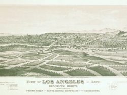
Los Angeles 1849
$35.00 Add to cart -
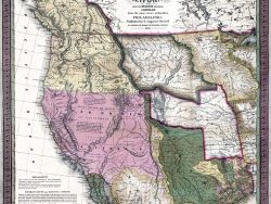
Western United States 1846 – Souvenir Series
$16.00 Add to cart