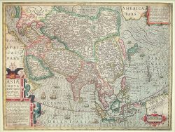
China 1584 – Souvenir Series

$16.00
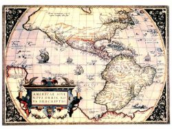
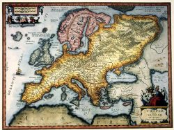
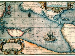
This is the first European printed map of China and, as such, a fascinating view of the East from the perspective of one of the world’s finest map-makers, Abraham Ortelius. Published in his 1584 atlas, Theatrum Orbis Terraum, Ortelius based his map on the work of Jesuit Jorge de Barbuda. The vibrant colors highlight a tremendous level of detail for the period, including cities and settlements, lakes, mountain and the Great Wall.
Size: 14 1/4 x 18 1/2 inches. Color, Text-Weight Paper