Canada 1719 – Souvenir Series

$20.00
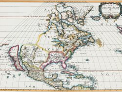
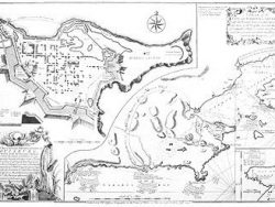
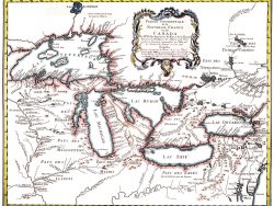
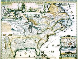
The maps in the Atlas Historique published by Henri Châtelain are unsurpassed in the quality of their engraving. The Canadian map drew on Delisle’s classic portrayal of 1703 with the addition of a text panel describing the region and summarizing early French explorations. It is distinctively colored with important boundaries outlined in double tones.
Size: 15 x 19 1/4 inches. Color, Text-Weight Paper
You may also like…
-
Louisburg, Nova Scotia 1758
$40.00 Add to cart -
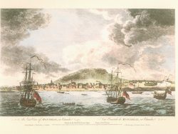
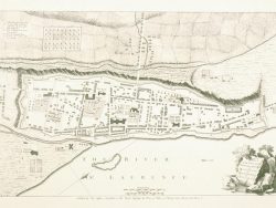
Montreal 1768 – Souvenir Series
$20.00 Add to cart -
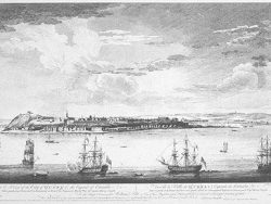
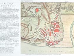
Quebec 1768
$37.50 Add to cart -
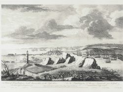
Louisburg, Nova Scotia 1768
$37.50 Add to cart -
Montreal 1758 – Souvenir Series
$20.00 Add to cart -
Great Lakes 1755 – Souvenir Series
$20.00 Add to cart -
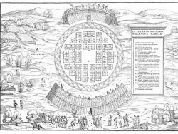
Hochelaga 1556
$37.50 Add to cart -
Quebec 1758
$40.00 Add to cart -
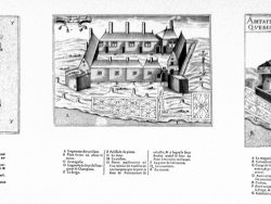
Ste. Croix, Quebec, and Port Royal, Canada 1613
$40.00 Add to cart -
New France 1719 – Souvenir Series
$20.00 Add to cart -
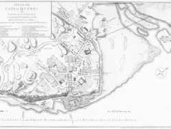
Quebec 1759
$37.50 Add to cart