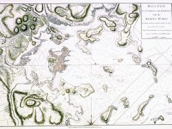
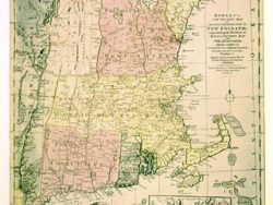
Boston 1833

$37.50
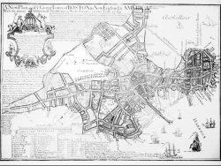
John G. Hales used earlier surveys to produce this map in 1820, which he updated in 1833. The survey encompasses greater Boston, including Concord and Salem to the north, Plymouth to the south and East Sudbury to the west. It is a valuable geographic record of the region, showing railroads, turnpikes, ponds, islands, hills, meeting houses and many settlements. The facsimile is reduced approximately one-fifth from the original size.
Size: 20 1/4 x 25 1/4 inches. Black & White, Cover-stock Paper
You may also like…
-
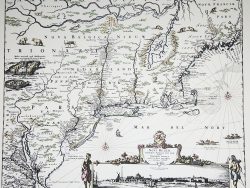
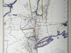
New York and New England 1685 – Souvenir Series
$16.00 Add to cart -
Boston 1743
$100.00 Add to cart -
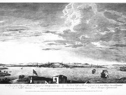
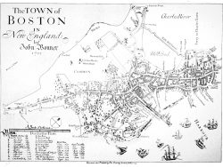
Boston 1769 – Museum Series
$35.00 Add to cart -
Boston 1850
$42.50 Add to cart -
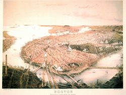
Boston 1877 – Museum Series
$40.00 Add to cart -
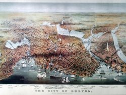
Boston 1873 – Museum Series
$40.00 Add to cart -
Boston 1722
$35.00 Add to cart -
New England 1780 – Souvenir Series
$16.00 Add to cart