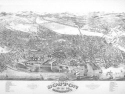
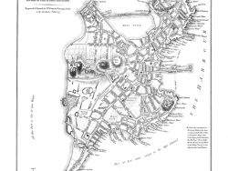
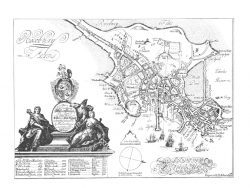
Boston 1774
$37.50
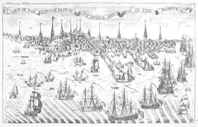
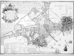
Paul Revere engraved this map as the frontispiece for the Royal American Magazine on the eve of the Revolutionary War. It was the last of three views of Boston he prepared. It was based on his earlier engraving showing the landing of British troops in October 1768, an event that hastened the conflict. The image is double the size of the original to show more clearly the many fascinating details of the city and its crowded harbor.
Size: 13 x 20 1/2 inches. Black & White, Cover-stock paper
You may also like…
-
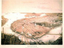
Boston 1777
$37.50 Add to cart -
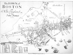
Boston 1768
$37.50 Add to cart -
Boston 1775 – Souvenir Series
$20.00 Add to cart -
Boston 1743 – Single Sheet Version
$42.50 Add to cart -
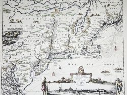
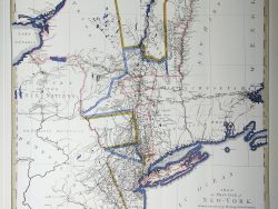
New York and New England 1685 – Souvenir Series
$20.00 Add to cart -
Boston 1769 – Collectors Series
$40.00 Add to cart -
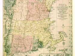
New England 1780 – Souvenir Series
$20.00 Add to cart -
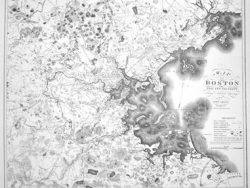
Boston 1833
$42.50 Add to cart -
Boston 1728
$37.50 Add to cart -
Boston 1722
$40.00 Add to cart