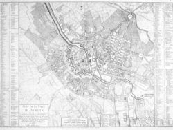
Berlin 1845

$40.00
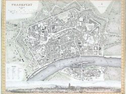
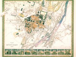
In the 1840s and 1850s C. Joseph Meyer published his Hand-Atlas, part of a larger book, serial, and encyclopedia publishing empire he established in 1826. Dozens of city plan-panoramas were produced, all of which were delicately colored steel engravings showing trees, buildings, fields, and lanes in exquisite detail. The plan of Berlin also includes a view of the city in the lower half of the image and insets of significant buildings.
Size: 14 x 15 1/2 inches. Color, Text Weight Paper